
Bazalt Kayalıkları Tabiat Anıtı
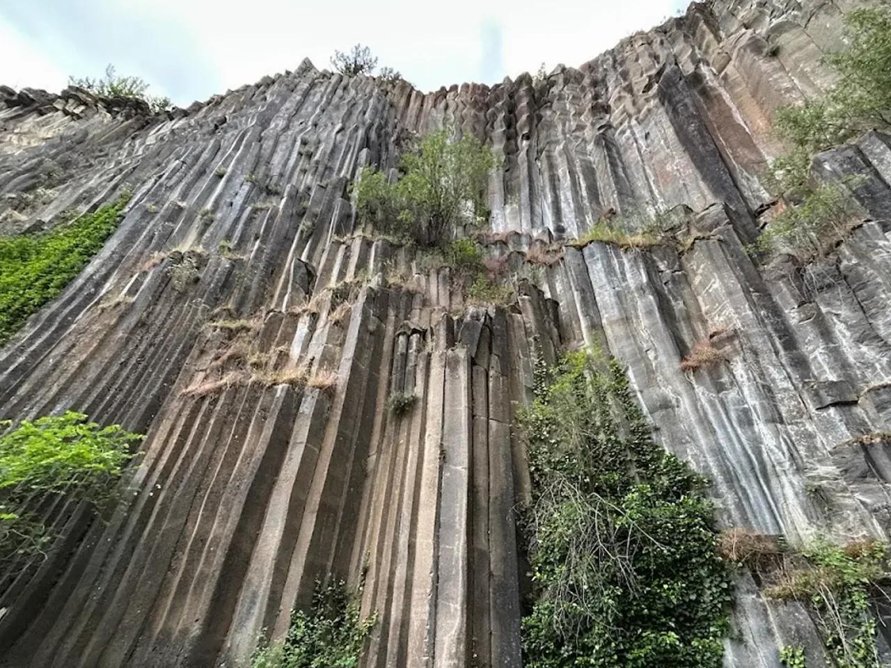
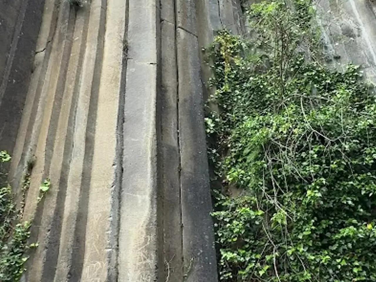
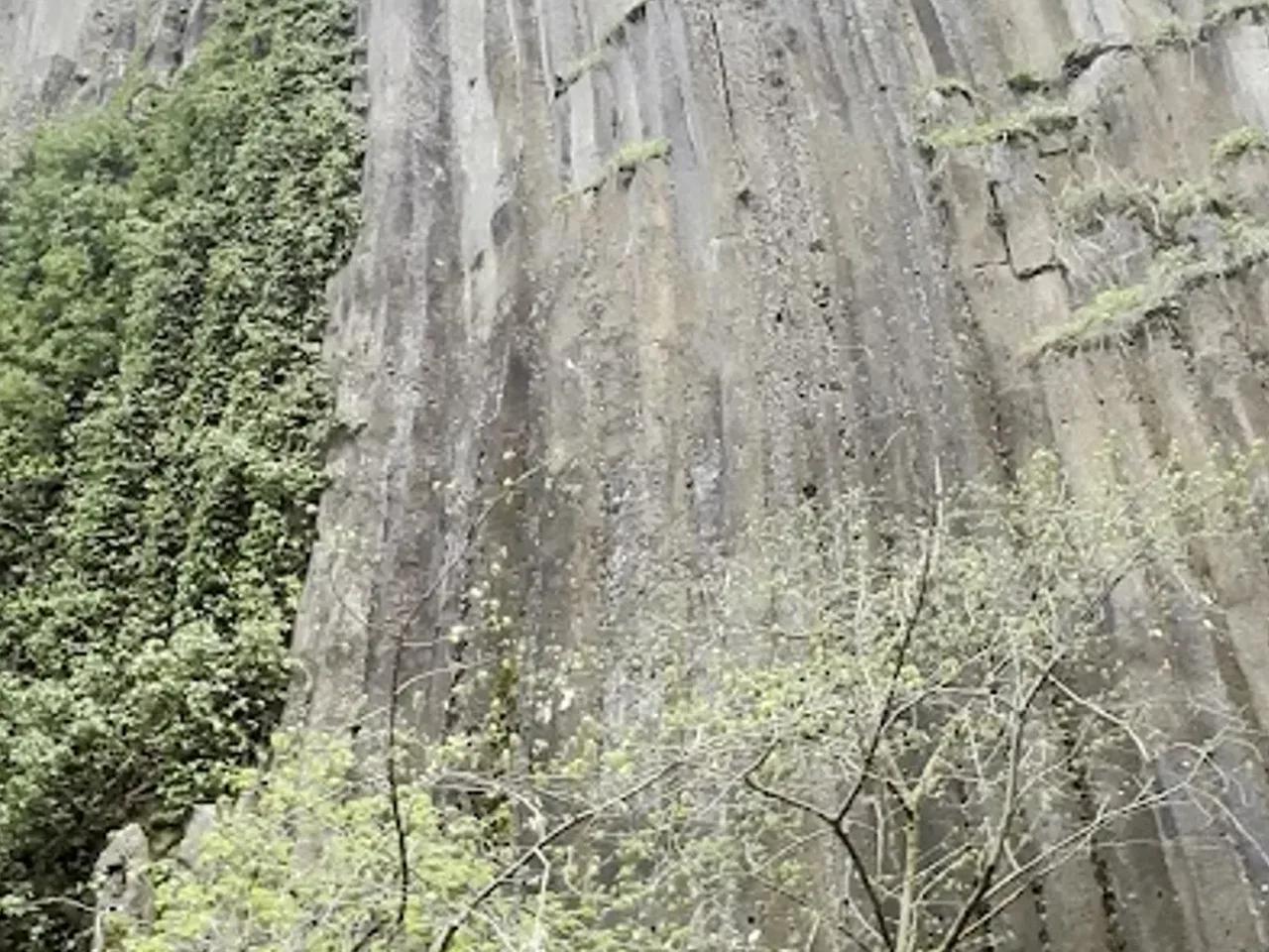
Declared in 2011 and covering 10.25 hectares, the Basalt Cliffs Natural Monument is located in the Boyabat district of Sinop. The basalt cliffs that give the area its name are 30-40 meters high and consist of 4-, 5- and 6-sided columns; the geological formation process of these magnificent structures dates back roughly 3-5 million years. The dominant vegetation of the area comes from natural mixed oak-hornbeam forests; in places, coniferous species such as black pine and juniper, along with steppe plants in the forest clearings, accompany this structure. Together with plant communities adapted to rocky habitats, more than 200 plant taxa have been identified in the area. Thanks to the presence of freshwater sources, frog diversity is high, and this richness also constitutes an important food source for reptiles and birds. The columnar basalt scenery, merging with the surrounding forest, offers a unique setting for hiking, scenery watching and photography. The natural monument is about 16.6 km from Boyabat district center; following the gravel road from the district center through the villages of Akyörük and Kurusaray, one reaches the northeastern boundary of the area.
What's Offered
 Soil
 Mountain
 Valley
 Canyon
 Forest
 Parking
 Scenic View
 Forest
 Wildlife
 First Aid Kit
 Safe Area
 Mobile Signal
Activities
 Trekking
 Nature Tour
 Rock Climbing
 Photography
Warnings & Important Information
Free entry.
No market or grocery store.
No electricity.
May not be wheelchair accessible.
No hot water or showers.
No toilets.
Reviews
No reviews yet. Be the first to write one!
Bazalt Kayalıkları Tabiat Anıtı
Kurusaray, Boyabat, Sinop
4.4
Declared in 2011 and covering 10.25 hectares, the Basalt Cliffs Natural Monument is located in the Boyabat district of Sinop. The basalt cliffs that give the area its name are 30-40 meters high and consist of 4-, 5- and 6-sided columns; the geological formation process of these magnificent structures dates back roughly 3-5 million years. The dominant vegetation of the area comes from natural mixed oak-hornbeam forests; in places, coniferous species such as black pine and juniper, along with steppe plants in the forest clearings, accompany this structure. Together with plant communities adapted to rocky habitats, more than 200 plant taxa have been identified in the area. Thanks to the presence of freshwater sources, frog diversity is high, and this richness also constitutes an important food source for reptiles and birds. The columnar basalt scenery, merging with the surrounding forest, offers a unique setting for hiking, scenery watching and photography. The natural monument is about 16.6 km from Boyabat district center; following the gravel road from the district center through the villages of Akyörük and Kurusaray, one reaches the northeastern boundary of the area.
What's Offered
- Soil
- Mountain
- Valley
- Canyon
- Forest
- Parking
- Scenic View
- Forest
- Wildlife
- First Aid Kit
- Safe Area
- Mobile Signal
Activities
TrekkingNature TourRock ClimbingPhotographyWarnings & Important Information
Free entry.
No market or grocery store.
No electricity.
May not be wheelchair accessible.
No hot water or showers.
No toilets.
Reviews
No reviews yet. Be the first to write one!
Edit Listing / Add a Place
Spotted an error? Sign in to suggest a correction or add a new place.
Frequently Asked Questions
Where is Bazalt Kayalıkları Tabiat Anıtı?
Bazalt Kayalıkları Tabiat Anıtı is located in Boyabat, Sinop (Karadeniz).
Is Bazalt Kayalıkları Tabiat Anıtı free?
Yes, Bazalt Kayalıkları Tabiat Anıtı is free and open to the public.
What facilities does Bazalt Kayalıkları Tabiat Anıtı offer?
Facilities such as Parking, Scenic View, Forest, Wildlife, First Aid Kit, Safe Area are available.
What are the opening hours of Bazalt Kayalıkları Tabiat Anıtı?
Opening hours: Daily 08:00 - 20:00.
What activities are available around Bazalt Kayalıkları Tabiat Anıtı?
Activities such as Trekking, Nature Tour, Rock Climbing, Photography are possible.
Picks for Nature Outings
Sponsored LinksObania may earn a commission from purchases made through these links; the price you pay stays the same.
Nearby places
Entrance fees and area details are based on public national park records of the Turkish Ministry of Agriculture and Forestry. Text and presentation belong to Obania. Last updated: July 19, 2026.